

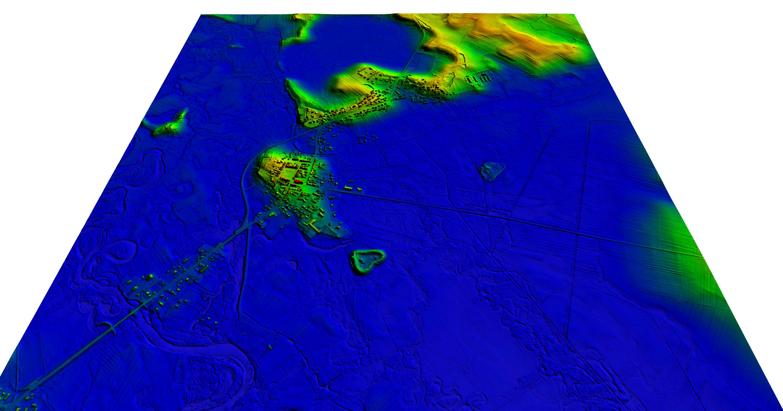
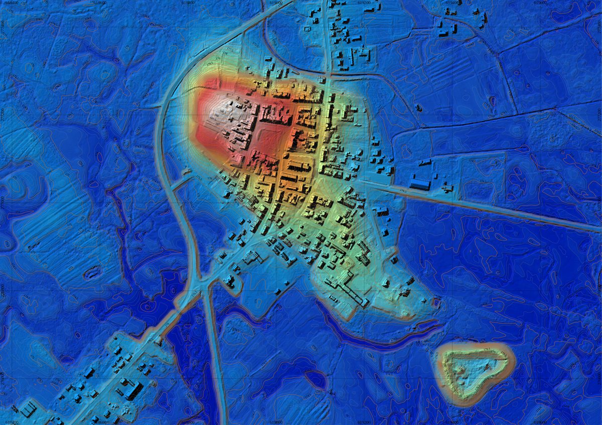

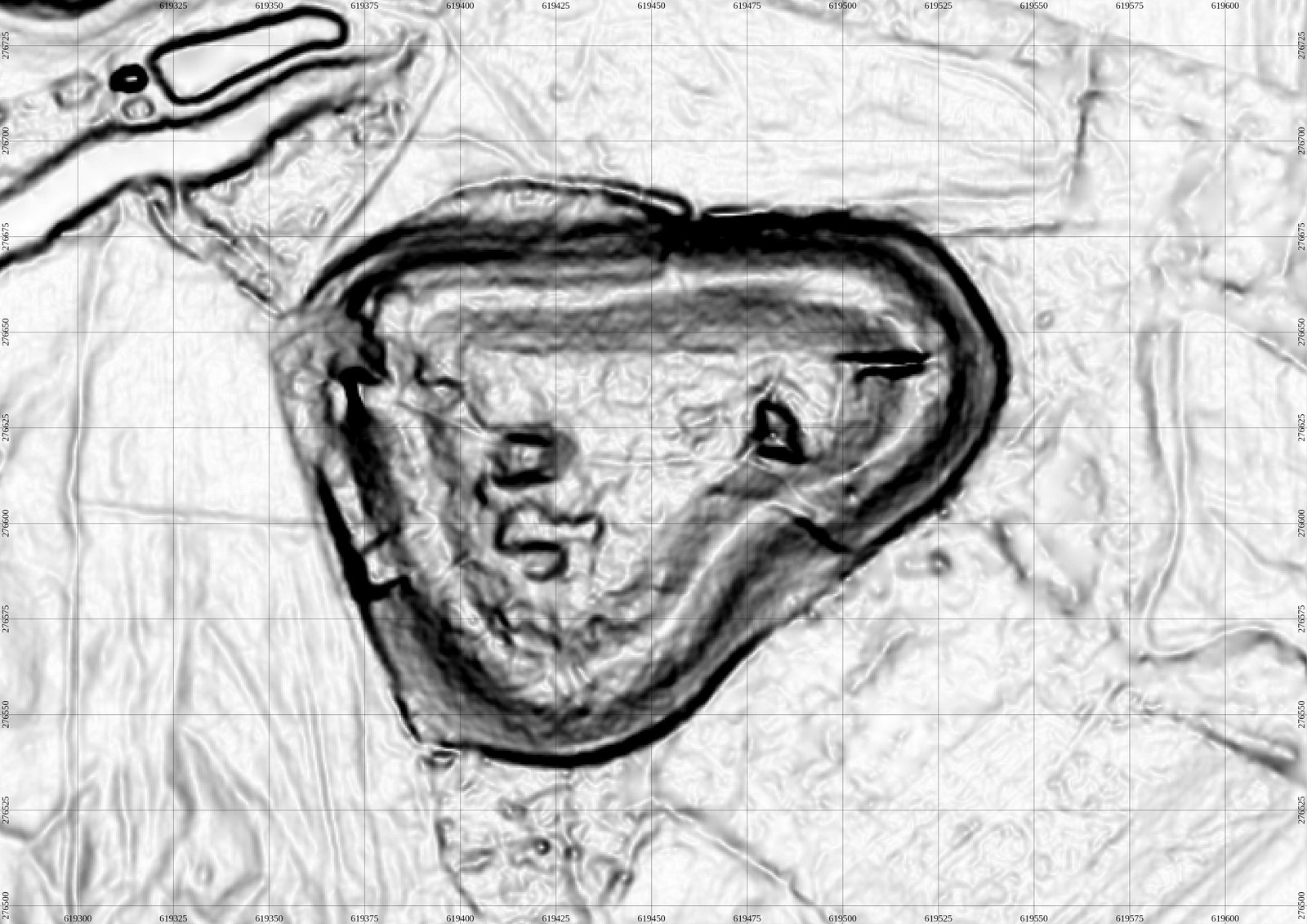
Airborne Laser Scanning data was used to create detailed 2d and 3d maps and derived visualisations of the cultural landscape of Wiślica, one of the more interesting historical and archaeological regions in southern Poland. It includes the preserved medieval layout of the chartered Wiślica town, two Medieval strongholds and ecclesiastic architecture.